Skip to content

Carnegie Hall

  • address 105 Church Street, Lewisburg, WV 2490137.8014456-80.4490874

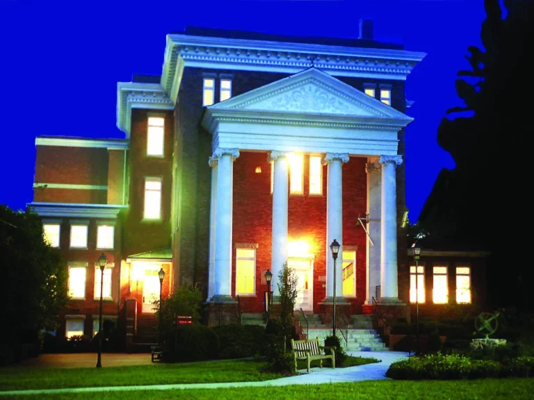
Nestled in the Allegheny Mountains, Carnegie Hall is one of only four Carnegie’s in the world. Since 1983, Carnegie Hall in Lewisburg has operated as a regional center for the visual and performing arts. Such notable performers as Taj Mahal, Gillian Welch, Isaac Stern, Ralph Stanley and George Winston have performed on its historic stage.


Carter Caves State Resort Park

  • address 344 Caveland dr, Olive Hill, KY 41164

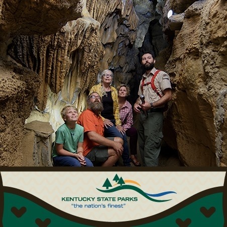
Beneath the forested hills of this resort, nature has hidden many twisting caverns. This park offers lodge rooms, cottages, camping, mini golf and cave tours. 

On July 31, 1946, the citizens of Carter and surrounding counties donated 945 acres to the Commonwealth of Kentucky for a state park. Contained in this tract are some of the most impressive caves in the state. Additional land has been obtained, making a total of some 2,000 acres. Carter and Cascade Caves are the best-known caverns in eastern Kentucky. Located in north-central Carter County, the Carter and Cascade Cave system is comprised of more than 20 caverns. Four of these caves are open for tours. Others are undeveloped or access is limited. Each cave has distinctive features reflecting geological forces.

Bat Cave is the largest cave in the park. It is open only in the summer and is the home of an estimated 40,000 Indiana bats called Myotis that hibernate there in the winter. These bats are protected by the Kentucky Parks System. The caves main passageway is a half-mile long and follows the course of Cave Branch. The ceiling of the passageway varies in height from about 35 feet at the downstream entrance to a claustrophobic 4 feet. Known as Backache Avenue, the low ceiling of the passageway extends 700 feet. This passage is wet and there are small pools of water throughout its length. During heavy rains the passage can be flooded by torrents of water.

Saltpetre Cave is a dry cave. No streams flow through these passages today. Evidence suggests that water did flow through the cave many years ago. The cave has long, broad, low-ceilings and dirt floors. The name of the cave comes from the old saltpeter works near the entrance that helped produce gunpowder during the War of 1812. Kentucky caverns had several saltpeter mines during the war. Nitrates for making gunpowder could be extracted from the earth in the caves. On the wall near the entrance is the legend, Simon Kenton 1783. Kenton, an early Kentucky pioneer, explored the area in the late eighteenth century. Saltpetre Cave is shown to visitors by guided tour.

The most popular cave for visitors in the Carter Cave system is X Cave, so-called f or the two intersecting caverns that from the letter X. Narrow and tall passageways permeate the X Cave. The walls of the cavern have been carved by water. X Cave is filled with beautiful and strange forms. Stalactites and stalagmites are found along the right passage of the cave. Columns, draperies, and flowstone created by centuries of water percolating through earth and stone, decorate portions of the cavern. Giant Stalactite is the largest dripstone formation in the cave. This formation of several stalactites is seven feet in diameter and about30 feet high. Another curiosity is Pipe Organ. This formation is unique in that several stalactites and draperies, when struck with a piece of wood, sound different tones, thus giving it its musical instrument name.
Carter Caves State Resort Park

  • address 344 Caveland Drive, Olive Hill, KY 4116438.368373-83.1251603

Carter Caves State Resort Park offers 28 Lodge Rooms, 12 Cabins, Camping, Cave Tours, Hiking Trails, Mini Golf, Horseback Riding, Swimming, Fishing, and Recreational Activities.

Cathedral Falls

  • address Midland Trail, Gauley Bridge, WV 2508538.1621982-81.1943413

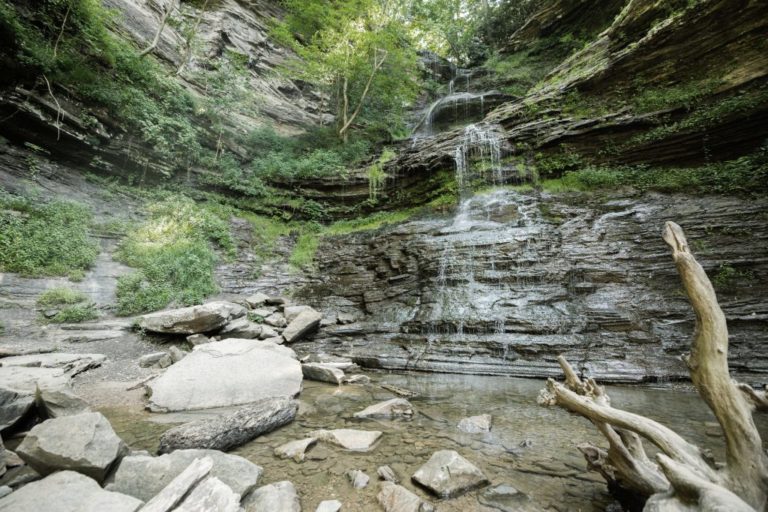
Cathedral Falls is one of the tallest and most scenic waterfalls found in Almost Heaven. This natural wonder sits at 60 feet tall, with waters plunging over sandstone and shale cliffs. Cathedral falls is both beautiful and easy to access – visible from Route 60 and with a designated parking area. Follow the short roadside path to get up close and personal with this mountain wonder.

Cave Run Lake

  • address Cave Run Lake Road 40371, Salt Lick, KY 4037138.1233781-83.5616915

Cave Run Lake, located South of Morehead, Kentucky, USA along Kentucky Route 801, is an 8,270-acre reservoir built by the U.S. Army Corps of Engineers. The 148 ft, half-mile dam construction began in 1965 and was completed in 1973. Cave Run Lake is in the northern part of the Daniel Boone National Forest.

Cliffside Overlook

  • address 3814 Hwy 119 South , Whitesburg, KY 4185837.1184318-82.8268265

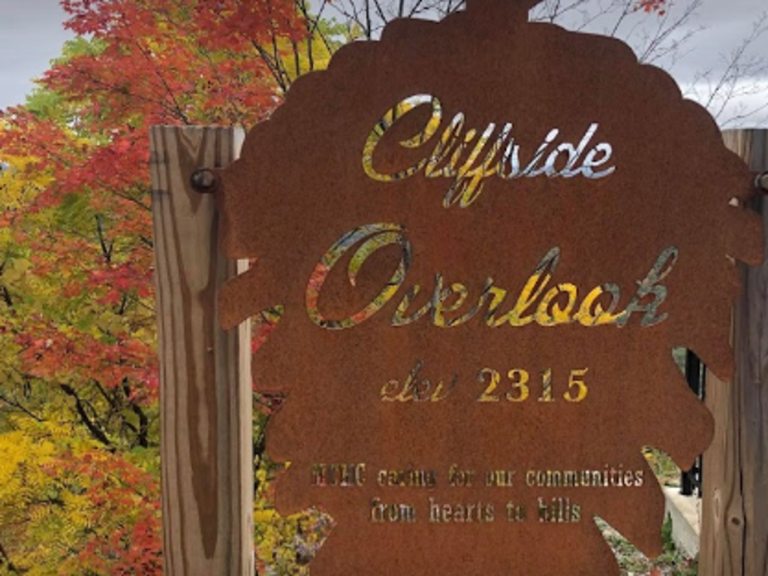
Tourist attraction in Letcher County, Kentucky. Make sure to watch the amazing sunset as you travel along this destination also known as The Slingshot trail.

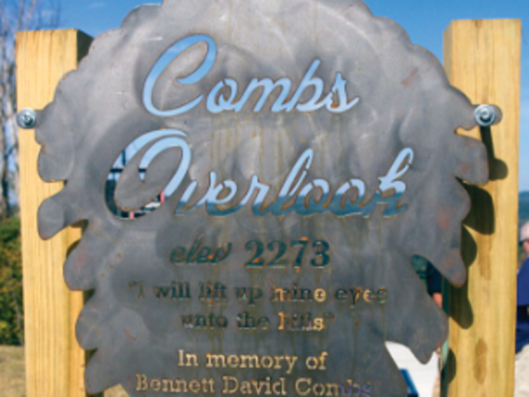
Combs Overlook

  • address US-23, Jenkins, KY 4153737.1882258-82.6345603

Make sure to check the sunset while you are at Comb’s Overlook.

Cranberry Glades Botanical Area

  • address Hill Creek Falls Rd, Hillsboro, WV 2494638.1795858-80.3391578

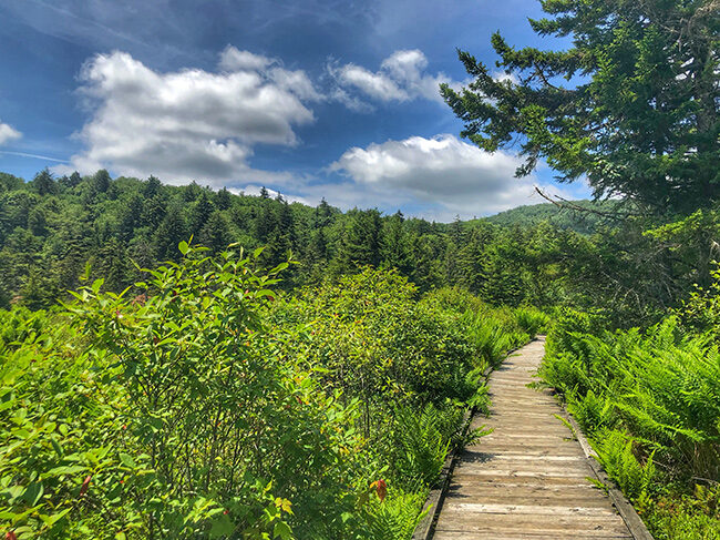
The Cranberry Glades Botanical Area protects the largest area of bogs in West Virginia. Bogs are acidic wetlands more commonly found in the northern areas of this country and in Canada. The ground in a bog is spongy and consists largely of partially-decayed plant material known as peat. Because of its unique conditions, some unusual plants grow in bogs, including carnivorous or insect-eating plants. The Botanical Area encompasses 750 acres.

Cumberland Falls State Park

  • address 7351 Highway 90, Corbin, KY 4070136.8385871-84.3383879

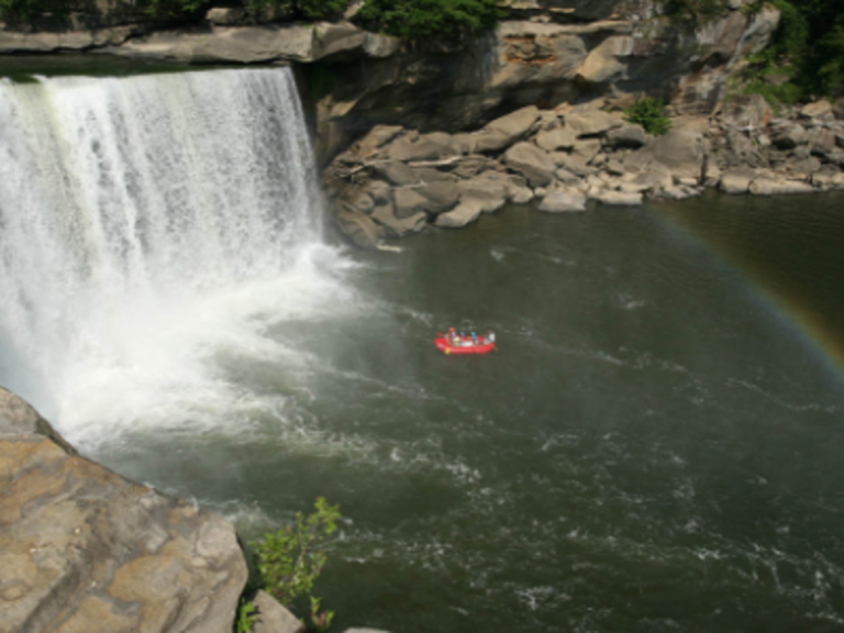
Cumberland State Falls home of our famous Moon-bow over the waterfall. Cabin rentals and RV lodging. Also there are many more outdoor activities for you to check out like horseback riding,kayak and much more!

Cumberland Gap National Historical Park

  • address 91 Bartlett Park Road , Middlesboro, KY 4096536.5996401-83.6944992

Cumberland Gap, the first gateway to the west, the buffalo, the Native American, the long hunter, the pioneer all traveled this route through the mountains into the wilderness of Kentucky.

Dirt Nasty Off Road

  • address 599 Pretty Ridge Road , Morehead, KY 4035138.1263253-83.42774519999999

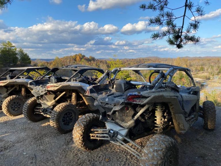
600+ acres for jeeps, atvs, sxs, dirtbikes, bouncers, and crawlers.

Saturday checkin 9am-5pm, ride as long as you’d like after you’re checked in. Weekend caming/riding availble on weekends, just give us a call if you’d like to come in friday.

Primitive camping only, no hookups as of now.

we do not rent rigs, you have to bring your own.

port-a-pottys available in the parking lots

Droop Mountain Battlefield State Park

  • address 683 Droop Park Road, Hillsboro, WV 2494638.1353972-80.2131261

A peaceful park with a panoramic view from the iconic Droop Mountain Tower, now marks the spot where one of West Virginia’s largest and last important Civil War battle was fought on November 6, 1863. The decisive victory of Union forces under General William W. Averell over the Confederate army under General John Echols ended serious efforts by the Confederacy to control West Virginia.

Eagle Lake

  • address Campus of Morehead State University, Morehead, KY 4035138.19563-83.43539

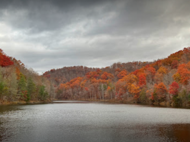
Lovely lake off of Morehead State University. Beautiful in the fall. Easy access and lots of parking. It’s up on a hill overlooking campus and is a trailhead location for the Sheltowee Trace.