- phone-alt 606-723-5078
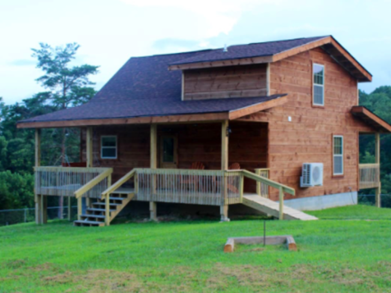
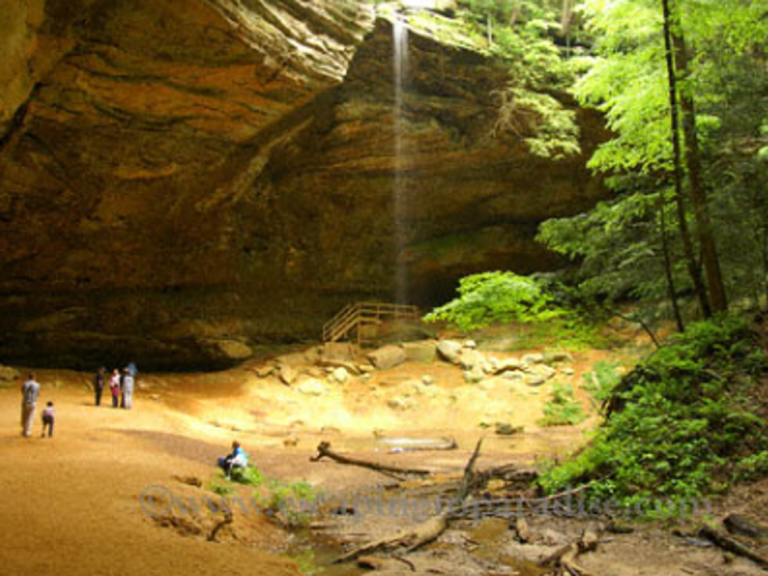
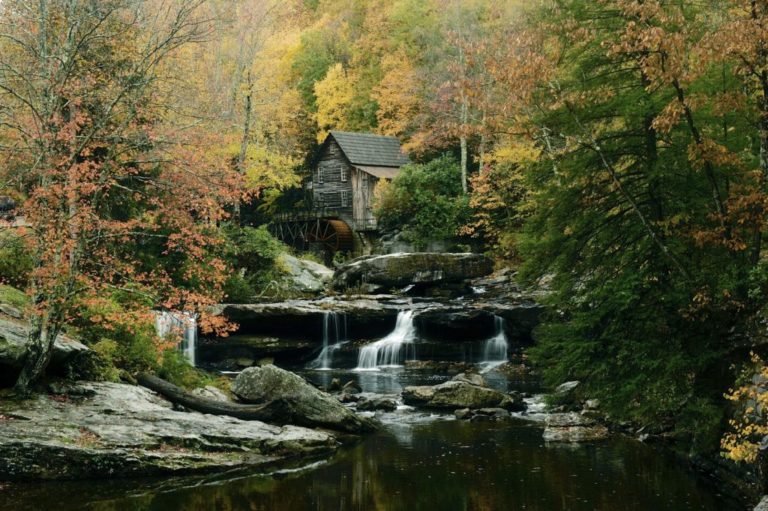
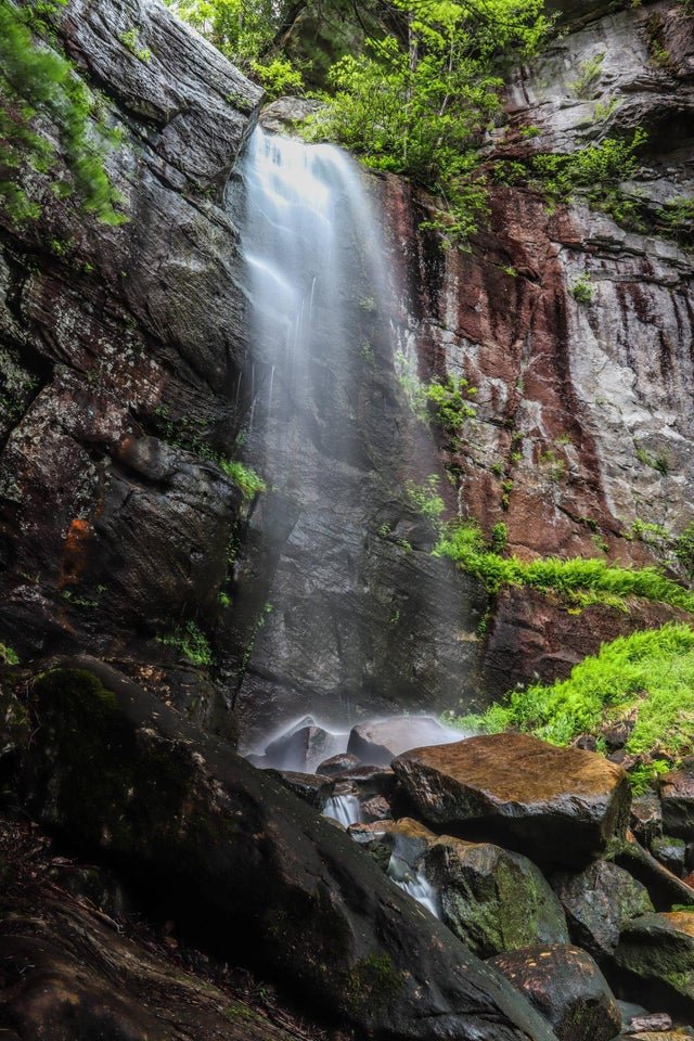
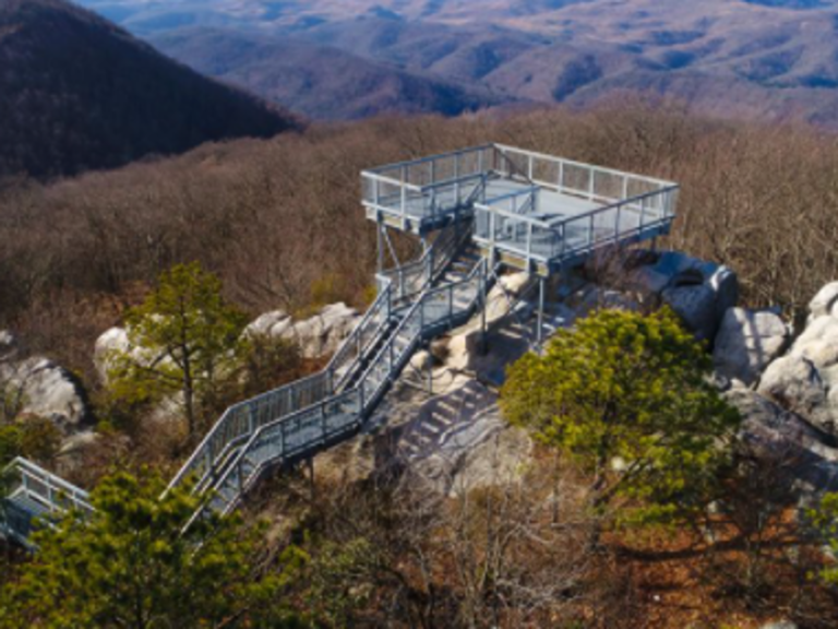
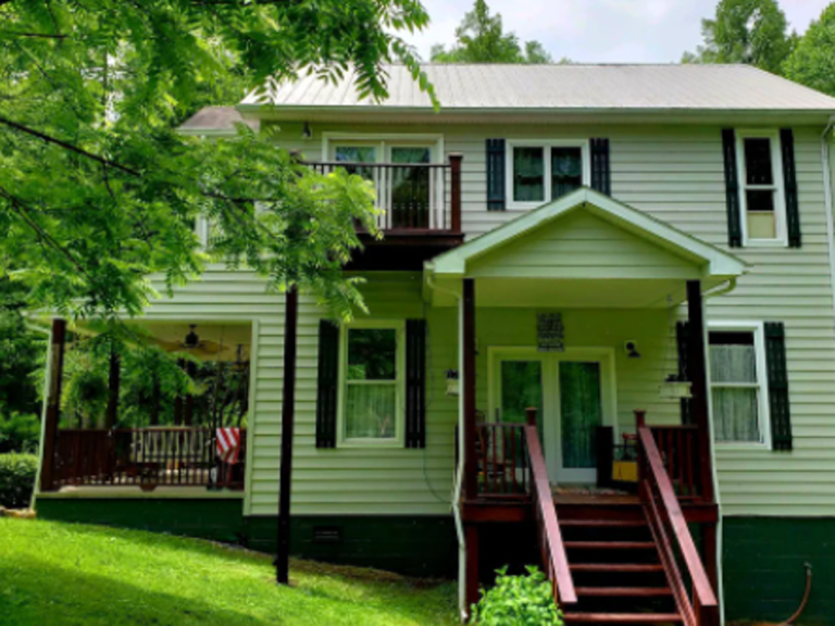
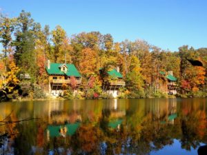
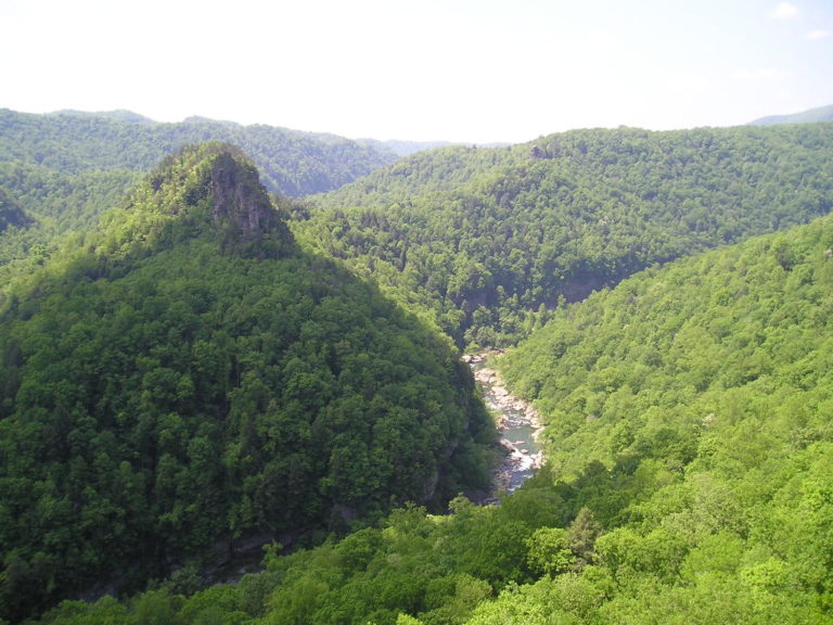
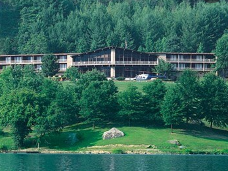
Aldersgate Camp and Retreat Center is a 354-acre Christian Retreat, recreation, R.V., camping and worship center owned and operated by the United Methodist Church of Kentucky. Aldersgate is open to all persons regardless of race, color, creed, sex, handicap or national origin. Historic Fitchburg Furnace and the old ghost town of Fitchburg are all within Aldersgate’s boundaries. Located in the foothills of Appalachia Aldersgate is near Red River Gorge, Natural Bridge State Park, and other interesting and beautiful sites. Come Visit!
Aldersgate Camp and Retreat Center is a 354-acre Christian Retreat, recreation, R.V., camping and worship center owned and operated by the United Methodist Church of Kentucky. Aldersgate is open to all persons regardless of race, color, creed, sex, handicap or national origin. Historic Fitchburg Furnace and the old ghost town of Fitchburg are all within Aldersgate’s boundaries. Located in the foothills of Appalachia Aldersgate is near Red River Gorge, Natural Bridge State Park, and other interesting and beautiful sites. Come Visit!