Skip to content

Cliffside Overlook

  • address 3814 Hwy 119 S, Whitesburg, KY 4185837.1184318-82.8268265

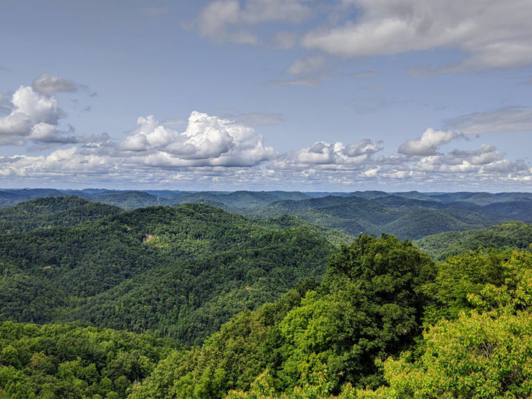
Cliffside Overlook- Cliffside overlook is located in the curve before the summit of the mountain. Its elevation is at 2,315 feet and it offers visitors a nice concrete landing to enjoy the view.

This is the lowest of five roadside overlooks on the northwest slope of Pine Mountain on US-119. It has a viewing platform and picnic tables making for a great spot to enjoy a meal while taking in the views.
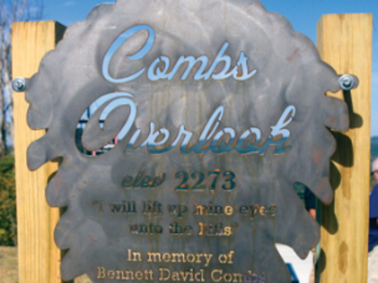
Combs Overlook

  • address US-23, Jenkins, KY 4153737.1882258-82.6345603

Make sure to check the sunset while you are at Comb’s Overlook.

Combs Overlook (Jenkins)

  • address US-23, Jenkins, KY 4153737.1882258-82.6345603

Combs Overlook (Jenkins) – Located off of Hwy US 23 N, immediately past the VA / KY line, Combs overlook offers guests a welcome respite with a gorgeous view of Jenkins KY. This is a picture-perfect place for family gatherings or meetings with a beautifully built covered shelter, several picnic tables and a concrete path leading to the observation deck encircled by custom railing. There is also a large parking area, allowing for multiple visitors at one time.

Combs Overlook(Jenkins), named for well-known Kentucky State Police Trooper Bennett David Combs, who died in August 2014 after a long illness. He was 55. The overlook gives views of Jenkins’ beautiful mountains, Raven Rock Golf Course and one of the most beautiful place to watch a sunset in the Appalachian mountains.

Cranberry Glades Botanical Area

  • address Hill Creek Falls Rd, Hillsboro, WV 2494638.1795858-80.3391578

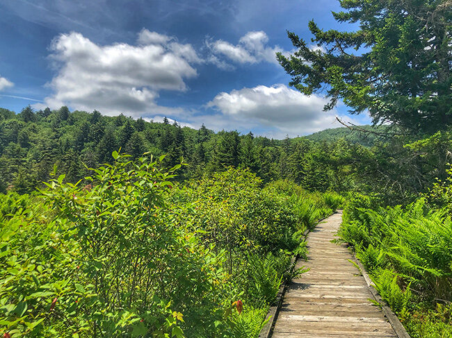
The Cranberry Glades Botanical Area protects the largest area of bogs in West Virginia. Bogs are acidic wetlands more commonly found in the northern areas of this country and in Canada. The ground in a bog is spongy and consists largely of partially-decayed plant material known as peat. Because of its unique conditions, some unusual plants grow in bogs, including carnivorous or insect-eating plants. The Botanical Area encompasses 750 acres.

Cumberland Falls State Park

  • address 7351 Highway 90, Corbin, KY 4070136.8385871-84.3383879

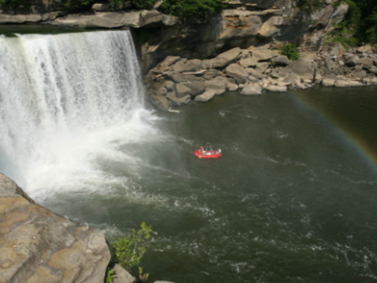
Cumberland State Falls home of our famous Moon-bow over the waterfall. Cabin rentals and RV lodging. Also there are many more outdoor activities for you to check out like horseback riding,kayak and much more!

Cummins Nature Preserve

  • address Pickett Lane, Maysville , KY 4105638.6790014-83.8032404

Cummin’s Nature Preserve is a 100 acre preserve located just minutes from downtown Maysville. Enjoy miles of hiking/walking paths, wildlife viewing, picnic area, playground and primitive camping.

Daniel Boone National Forest Cumberland Ranger Station

  • address 2375 KY 801 South, Morehead, KY 4035138.1231258-83.5258479

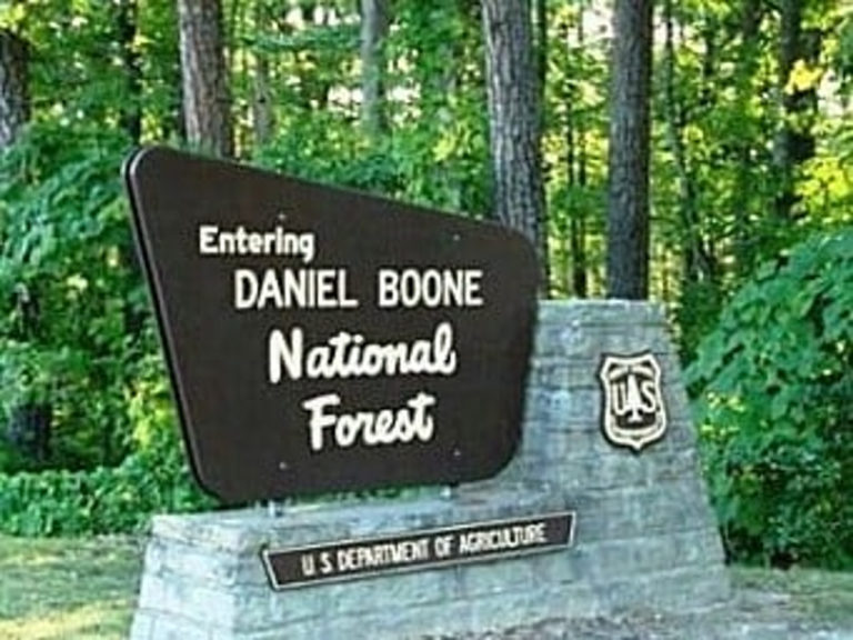
The office, located on Cave Run Lake, provides maps and information about the Daniel Boone National Forest. It also serves as the district office for Cumberland Ranger District.

Dirt Nasty Off Road

  • address 599 Pretty Ridge Road , Morehead, KY 4035138.1263253-83.42774519999999

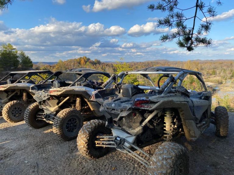
600+ acres for jeeps, atvs, sxs, dirtbikes, bouncers, and crawlers.

Saturday checkin 9am-5pm, ride as long as you’d like after you’re checked in. Weekend caming/riding availble on weekends, just give us a call if you’d like to come in friday.

Primitive camping only, no hookups as of now.

we do not rent rigs, you have to bring your own.

port-a-pottys available in the parking lots

Dog Slaughter Falls

  • address Forest Service Road 195, Corbin, Kentucky 4070236.858184.3113

Located just over a mile from the nearest trailhead, Dog Slaughter Falls is one of the most beautiful waterfalls in the Daniel Boone National Forest.

That’s actually a high honor, because there are a lot of waterfalls to choose from within the national forest. But it’s not an exaggerated honor. Dog Slaughter Falls is stunning, despite its morbid name.

The fourth hike of the Twenty Week Hiking Challenge visits Dog Slaughter Falls, and the greatest thing about this hike is that — unlike some trails that offer a mundane hike to reach a picturesque feature at the end — getting to the waterfall is half the fun.

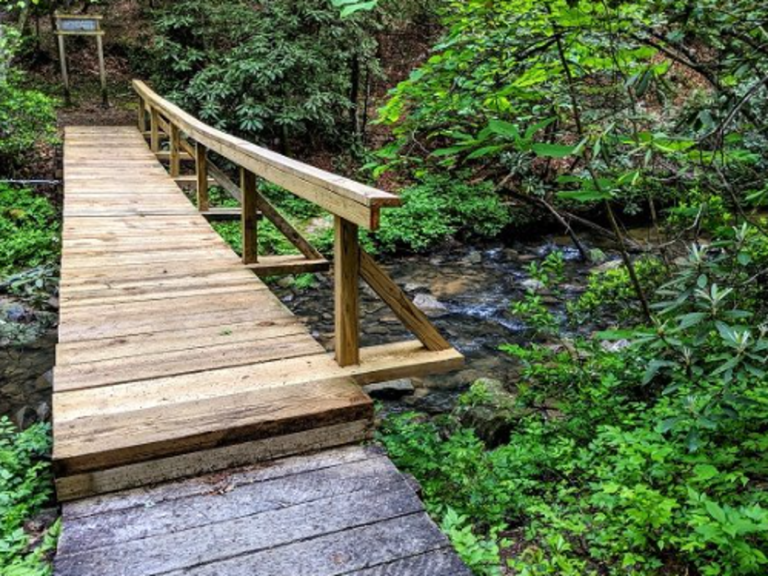
The trail to Dog Slaughter Falls travels along Dog Slaughter Creek, an absolutely stunning mountain stream that empties into the Cumberland River just beyond the waterfall. The hike is a gorgeous stroll through nature, the trail meandering through a hemlock and rhododendron forest for the entirety of its route.

Droop Mountain Battlefield State Park

  • address 683 Droop Park Road, Hillsboro, WV 2494638.1353972-80.2131261

A peaceful park with a panoramic view from the iconic Droop Mountain Tower, now marks the spot where one of West Virginia’s largest and last important Civil War battle was fought on November 6, 1863. The decisive victory of Union forces under General William W. Averell over the Confederate army under General John Echols ended serious efforts by the Confederacy to control West Virginia.

Faith Acres Farm

  • address 107 Tree Top Dr, Butler, KY 4100638.8029535-84.3681902

 See where your food comes from and have confidence you are providing the best source of nutrition to your family. Local farming at its best.

Falcon Overlook

  • address 4436 Hwy 119 S, Whitesburg, KY 4185837.1184318-82.8268265

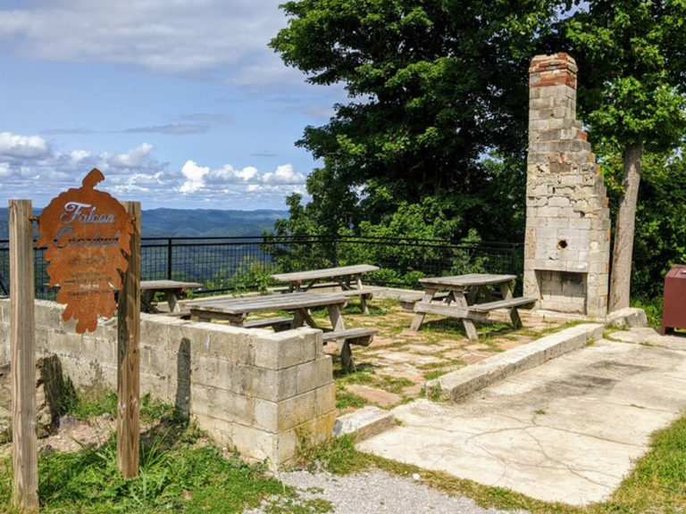
Falcon Overlook- Located where the old Falcon Inn used to be, this overlook is dedicated to Community Trust Bank. The elevation at Falcon Overlook is 2,557 feet. Etched in the concrete is the date 1948 and the name Doyle. This location was an overgrown building foundation with only a chimney standing.

Falls of Hill Creek

  • address 932 N Fork Cherry Road, Richwood, WV 2626138.2473344-80.5251505

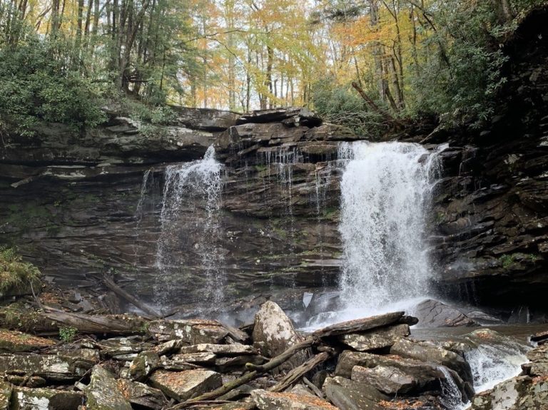
Three waterfalls at the Falls of Hill Creek cascade over rock layers of sandstone and shale. A 3/4 mile trail provides access to the falls, including a paved, barrier-free trail to the first falls. This area is located six miles west of the Cranberry Mountain Visitor Center. A scenic forest trail leads into a narrow Gorge containing 3 waterfalls, the largest of which is 65 feet high, is the second highest waterfall in West Virginia.